|
| *****SWAAG_ID***** | 981 |
| Date Entered | 26/02/2017 |
| Updated on | 26/02/2017 |
| Recorded by | Tim Laurie |
| Category | Geological Record |
| Record Type | Geomorphology |
| Site Access | Public Access Land |
| Record Date | 24/02/2017 |
| Location | Cotherstone Moor. Hunder Beck Gill upstream of the waterfall at NY927 167 |
| Civil Parish | Cotherstone |
| Brit. National Grid | NY 92452 16646 |
| Altitude | 357m |
| Geology | Embedded in boulder clay on south side of the ravine cut by Hunder Beck. The furthest upstream of four similar shap boulders recognised to date upstream of the falls at NY927 167 |
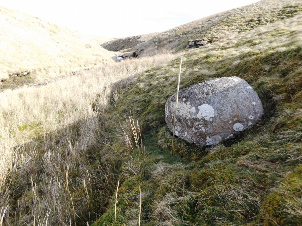
| Record Name | Large boulder of Shap Granite on south side of Hunder Beck at NY9245 1665 |
| Record Description | Large boulder of Shap Granite size 1.5m*.1.3m*.8m approximately. Embedded in boulder clay on south side of the ravine cut by Hunder Beck. The furthest upstream of four similar shap boulders recognised to date upstream of the falls at NY927 167 |
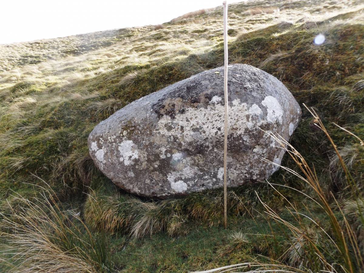
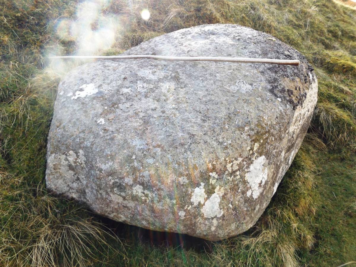
| Dimensions | 1.5m*.1.3m*.8m approximately see photographs |
| Image 1 ID | 7225 Click image to enlarge |
| Image 1 Description | Shap boulder on south side of Hunder Beck upstream of the falls at NY927 167 | 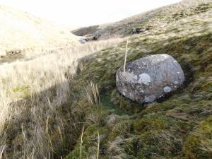 |
| Image 2 ID | 7226 Click image to enlarge |
| Image 2 Description | Detail |  |
| Image 3 ID | 7227 Click image to enlarge |
| Image 3 Description | Detail |  |
| Image 4 ID | 7228 Click image to enlarge |
| Image 4 Description | Detail | 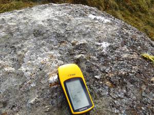 |